
I created this from an actual photograph. Any idea what it is?
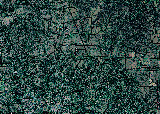
You know what? The un-retouched image is actually quite a bit more impressive:
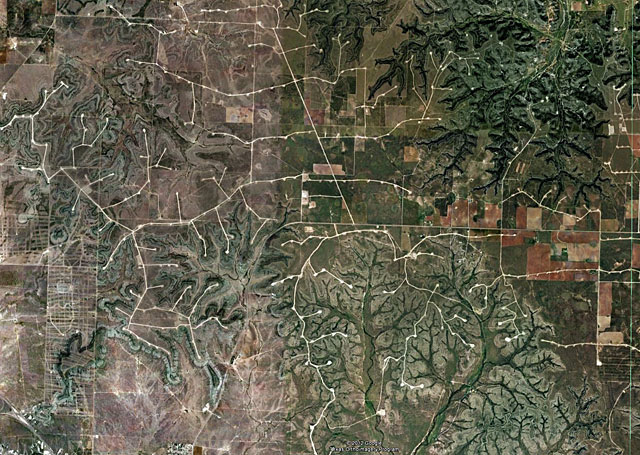
I know that some of you have seen this scene from ground-level. It’s an aerial look at the Forest Creek Capricorn Ridge (thanks, Gregg!) wind farm just north of Sterling City, Texas. The white lines and dots are the turbine locations and service roads, but what really caught my eye when I saw them on Google Earth are the fractal patterns of the terrain, showing how it’s been etched over the eons by natural forces. Simply breathtaking, it is.
Speaking of wind, I ran across the following video on a blog called Brand 66, and I was immediately captured by the sheer whimsical genius.
How cool would it be to set an army of these inventions loose on the West Texas plains, to “graze” and wander at will?
Discover more from The Fire Ant Gazette
Subscribe to get the latest posts sent to your email.