
Incredibly eagle-eyed Gazetteers Gregg Ulvestad, Lisa Blake, and Les Blalock recognized foto numero siete in our series as..well…as a number of things, all of which were correct although not precisely the answer I was seeking. That’s my fault for not being more specific.
The photo is of the Penwell area, a few miles east of Odessa on I-20. The feature that’s shown but hardly recognizable is a portion of the Caprock Escarpment. Few people know that the caprock was actually an unintended consequence of an early 20th-century top secret government experiment gone terribly wrong, which resulted in a massive underground explosion that raised many miles of West Texas terrain by several hundred feet (and also provided a serious setback to the careers of a number of formerly prominent scientists and their sponsoring politicians).
OK, not really. It all has to do with some geology stuff, perhaps more scientifically plausible, but definitely more boring.
Anyway, everyone pointed out the cement plant (that big white area in the southeast quadrant of the photo shown below, which is a separate but equal answer. Les even provided some accompanying history (which unfortunately omits any mention of massive underground explosions).

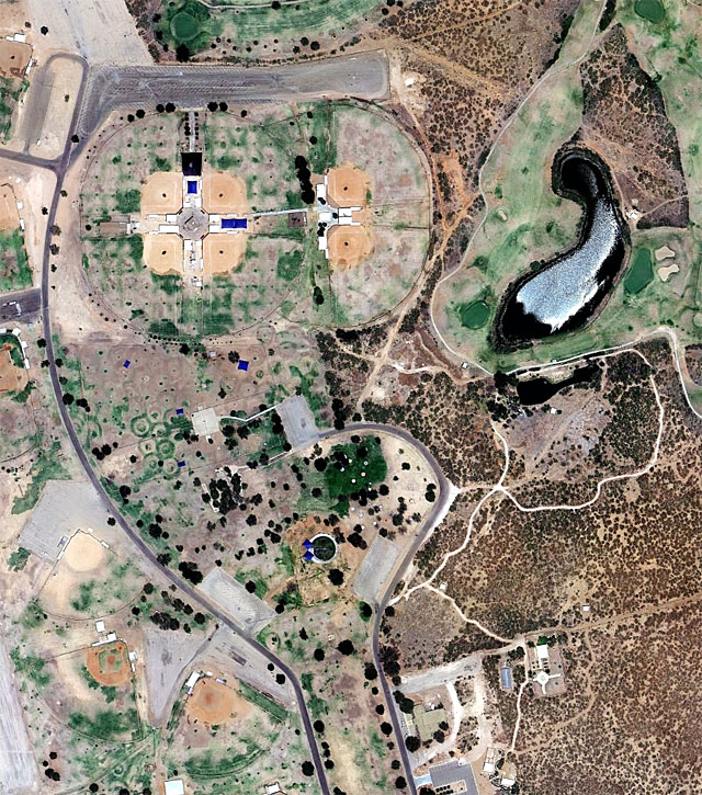
OK, you’re probably wearing out your eyes and Google Earth, so let’s wrap up the series with one more aerial tableau. This is an urban scene, and it immediately caught my eye, and if you see anything other than a gecko about to eat a fish, you’re just not paying attention.
Don’t bother clicking on the picture to see a larger version, because there isn’t one.
Viewed from 7,200 feet
Discover more from The Fire Ant Gazette
Subscribe to get the latest posts sent to your email.