

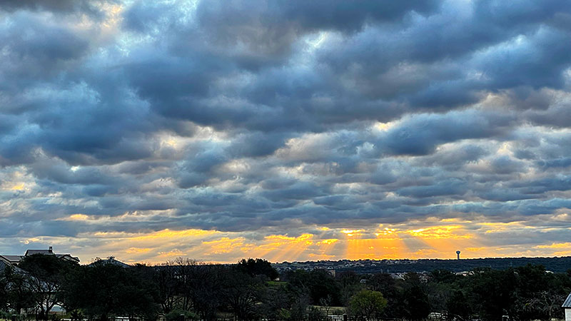
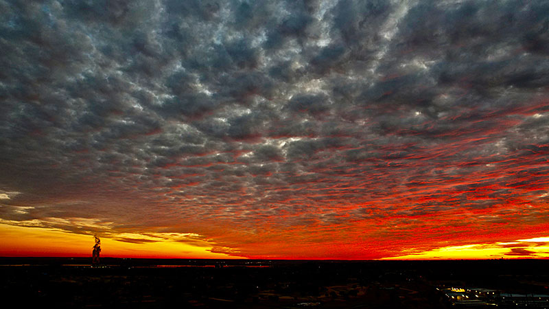
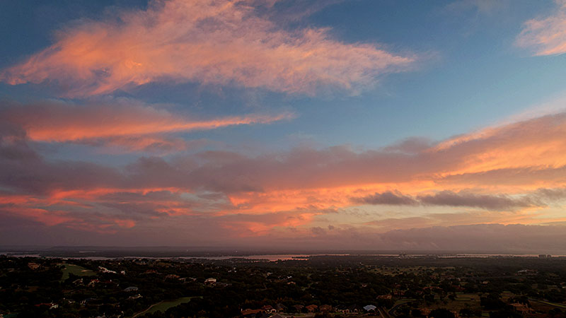
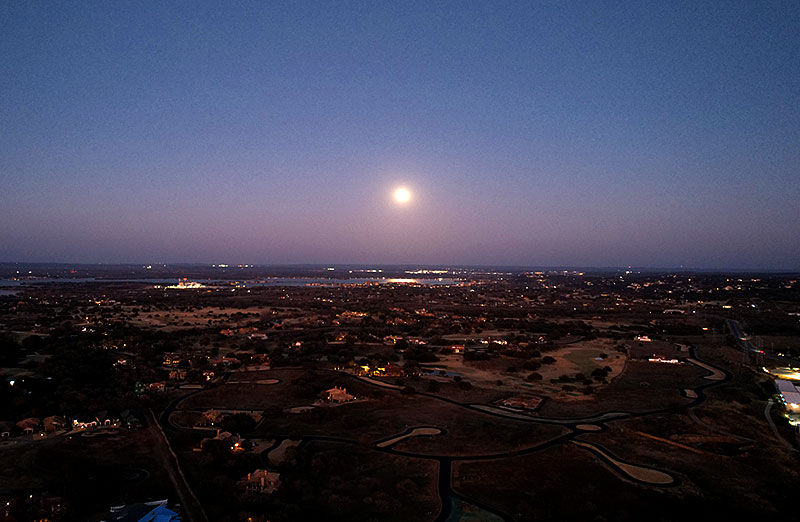
When we moved to the Hill Country of Central Texas, we lost our views of the spectacular sunsets that the flatlands of West Texas often offered. Our house now has only one small bathroom window that faces west, and that view is almost completely blocked by trees. However, we do have a pretty clear view eastward, and what we lack in sunsets, we make up in sunrises.
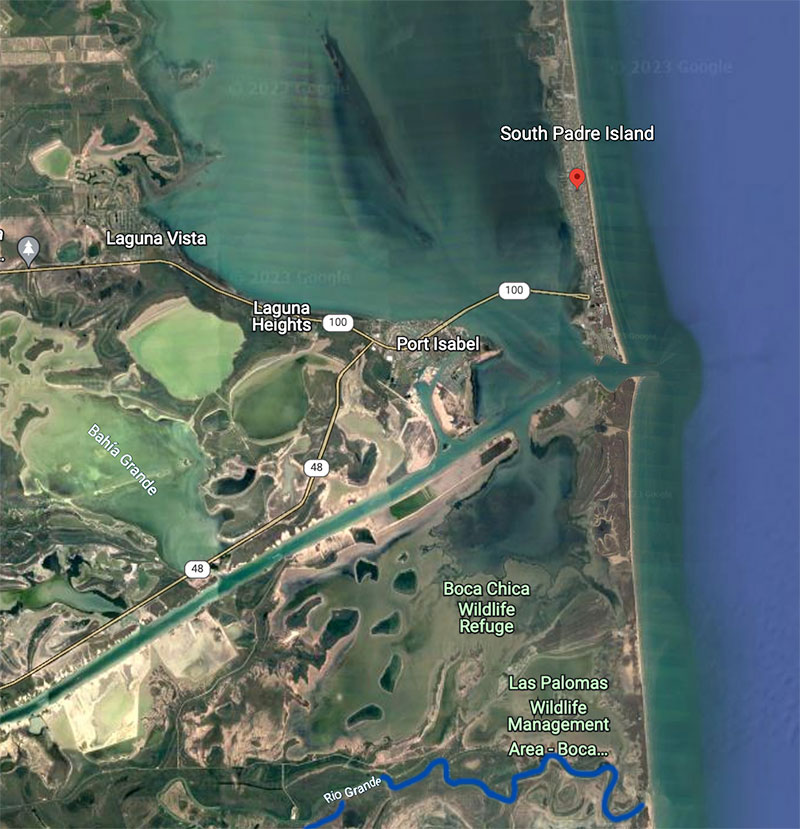
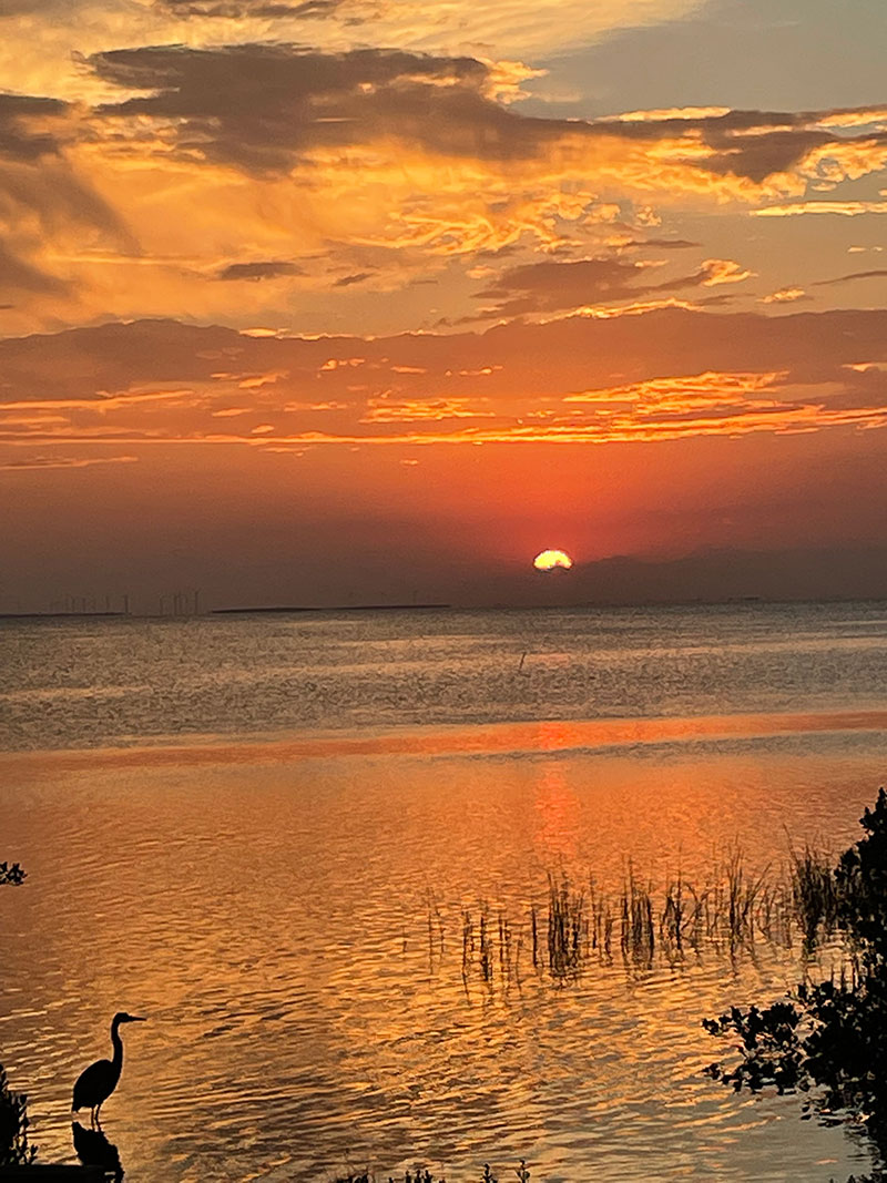
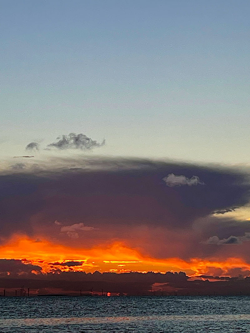
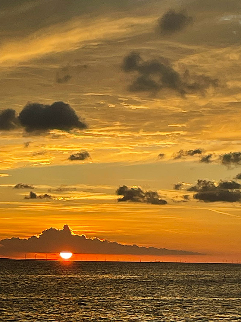
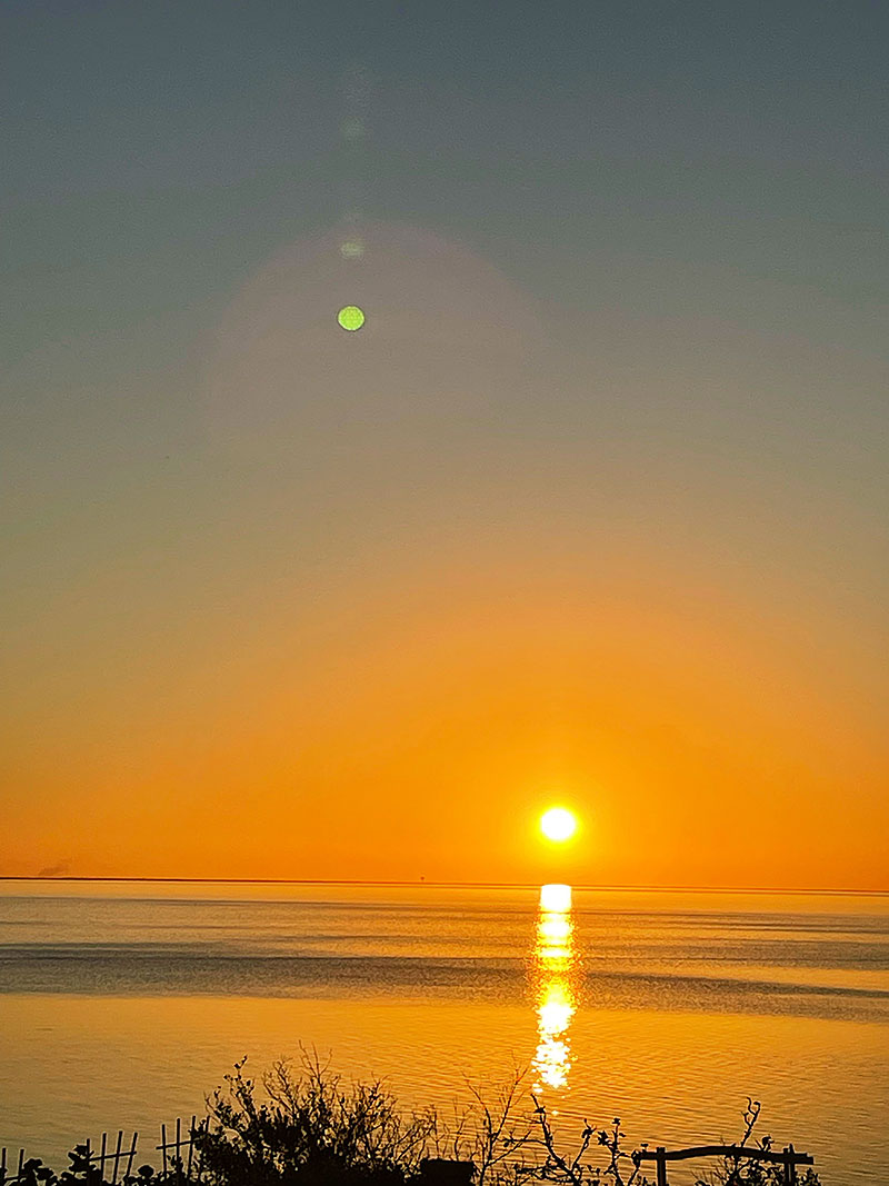
Contrast that situation with what our friends who live on South Padre Island (SPI) enjoy. SPI is about 400 miles due south of Horseshoe Bay, and our friends’ house is situated on the west side of the island, with an unimpeded view of Laguna Madre, a narrow 130-mile-long body of water between the Gulf of Mexico and the Padre barrier island complex. Here’s a screen capture from Google Earth to help you get your bearings:
Now, while their house is perfectly situated for sunset viewing, they have a similar problem to ours with respect to the sunrise. While SPI is only about a half mile wide where they live, their view to the east is blocked — not by trees but by an almost endless row of houses and condos strung along the beach facing the Gulf.
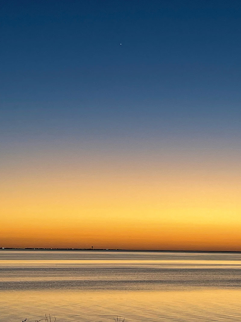
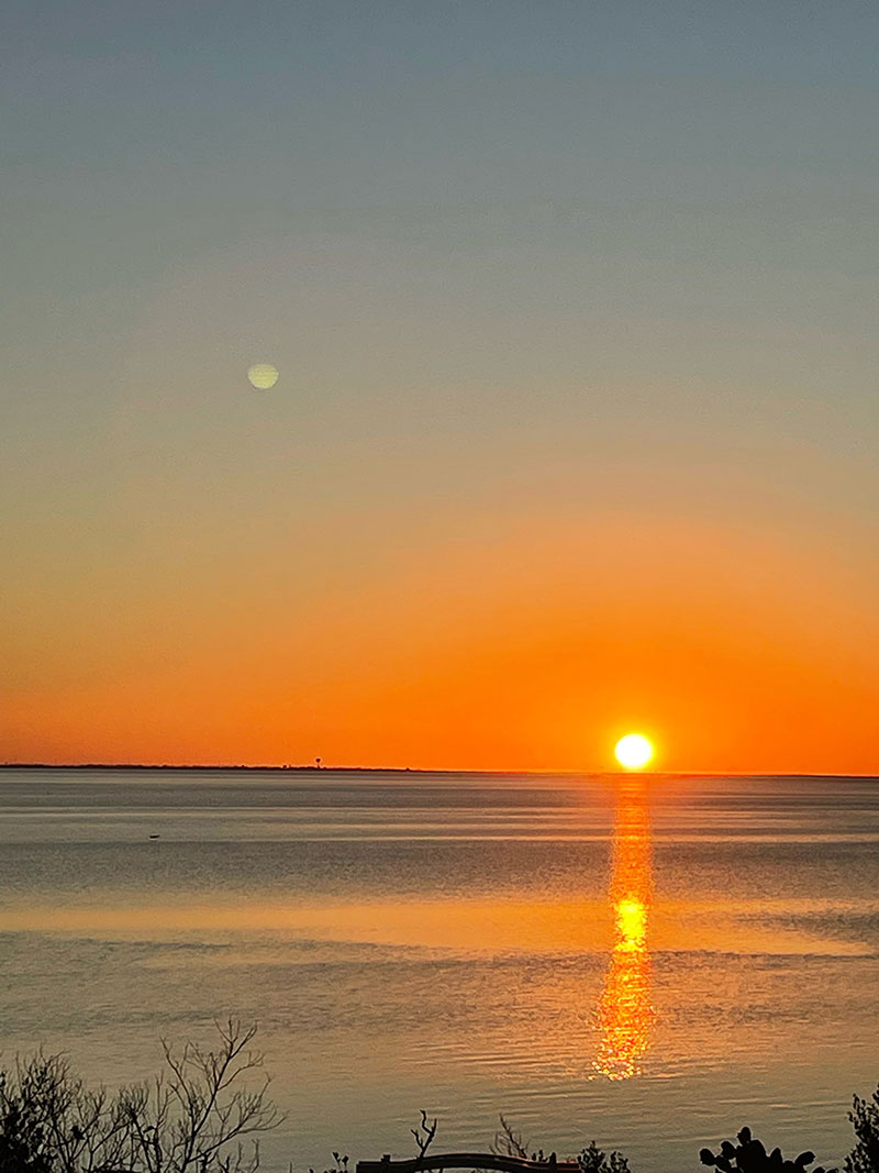
That’s a long-winded intro to what has become a regular practice: they send us photos of their sunset views — generally from their second story balcony — and I reciprocate with images of our sunrises, sometimes from ground level and sometimes via drone. We enjoy those exchanges, and I thought you might like to see some of them as well.
I confess that the process of creating this post caused me to stumble down a rabbit trail involving the definitions of “sunrise” and “sunset”, which then led to the myriad definitions of “horizon.” There are at least five different types of horizons, each of which has a different use, and a discussion of them is beyond the scope of this post (and my understanding).
It all started when I noticed that the sunset photos showed the sun dipping below a horizon that was clearly more than 3 miles away…which, depending on a person’s height, is the theoretical distance to the true horizon at sea level. I wondered why the apparent horizon, as seen in the photos, was so much farther away.
The simple (and logical) answer is that as the height above sea level of the observation increases, the farther away the visible horizon appears. So, taking into account that the average elevation of SPI is seven feet above sea level, and adding another 15′ for the height of the balcony, plus six feet for my friend’s height, the distance to the horizon is 6.5 miles. (Yes, Virginia, there is a “distance to horizon” calculator.)
However, that still didn’t jive with what I know about the geography of that area. We need to also take into account the elevation of the terrain on the other side of Laguna Madre. Now, the reported elevation of Port Isabel, the closest mainland town, is also seven feet above sea level, and if we assume that going a little further west increases the elevation by a few feet — let’s assume three more — the distance to the visible horizon increases to about eight miles. I can live with that.
By the way, the sunrise/sunset times used by the weather apps on your devices are probably supplied by the National Weather Service, and it uses what’s called the astronomical or celestial horizon to calculate those times. Feel free to research that on your own time.
Discover more from The Fire Ant Gazette
Subscribe to get the latest posts sent to your email.