
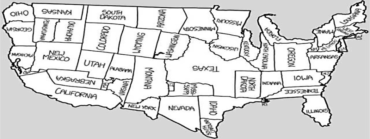
The continent of Africa is upset because many world maps show Greenland as being larger. I will try to explain this pressing issue.
Category: Cartography
Addressing a Geographic Misconception
Fun with Google Earth
One of the many cool features about Google Earth is the ability to step back in time to see how an aerial scene has changed. Beginning with Google Earth 5.0, introduced in 2009, “historical imagery” was integrated into the application. As far as I can tell, much of the imagery (dating back to around 1984)… Continue reading Fun with Google Earth
I, Cartographer
Two months ago, I couldn’t spell “cartographer,” and now I am [on my way to becoming] one. As a Geographic Information Systems (GIS) specialist, my duties include generating and editing maps, and I’ve found the learning curve to be challenging. There are actually two different challenges. One involves learning the systems we use for mapping. Most of our… Continue reading I, Cartographer